It’s that time…getting ready to hit the ocean again but before we do that we need to do lots of projects so off to see the Bay of Islands…again.
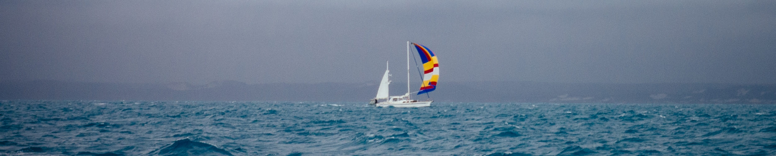
We left Auckland on the 25th of March. The weather window for us to sail back up to Opua, Bay of Islands, couldn’t of been better. Most of the anchorages on the east side of the North Island are exposed to NE winds and swell, we were concerned that if wind got too big, it would make these anchorages uncomfortable, in which case we would probably make a run all the way up to Opua without stopping. However….we were able to enjoy calm weather (not great for good sailing) and peaceful anchorages all the way back.
Islington bay – A short trip, only 20 miles out. This anchorage is between 2 islands, Rangitoto and Motutapo islands… sunny day and light winds called for motoring.


Kawau Island – weather still good, we headed to Kawau Island, about 26.5 miles away. Pretty uneventful…minus playing chicken with a freighter.


Hens and Chickens Islands – Weather permitted us to check out more remote and outer islands rather than staying close to the coast. Hens and Chicken Islands looked and sounded cool and what a strange name we thought…..so I had to look it up on wikipedia: “These islands were named by Captain James Cook, who first sighted them in 1769. It has been suggested that the name was inspired by an old name for the star cluster usually known as the Pleiades (and called Matariki by the Māori). Hen Island, or Taranga lies separate from the rest of the chain, lying 7 kilometres (4.3 mi) to the southwest. It is also considerably larger than the Chicken Islands, or Marotiri, which comprise a chain of five small islands running north-west to south-east to the north of Hen Island. The chain consists of Wareware and Muriwhenua Islands (together forming North West Chicken), Mauitaha (West Chicken), Lady Alice Island (Big Chicken or Motu Muka), Whatupuke (Middle Chicken), and Coppermine Island (Eastern Chicken).”


Puriri Bay – Originally we were headed for a bay where we could take a small walk up to “mermaid pools” at low tide. Unfortunately…or fortunately for us…we witnessed a another boat coming out of that bay and their mast was rolling at what looked like a 35-40 degree angle to each side…we thought we better ditch that idea and head for a more protected anchorage from the swell that had kicked up. Delightfully we found Puriri bay, almost no swell and felt like a lake!


Opua, Bay of Islands and around Cape Brett – It’s Thursday March 29th and we realized most of the businesses in Opua would be closed for the long Easter holiday (they take Good Friday and the Monday after Sunday Easter off)…so we made a few phone calls to our rigger who we needed to confirm a few parts before he could start working on our project so we belined to Opua so that he could come aboard and take measurements early to get the ball rolling : )


A month of boat work and looking for a weather window to head north again…..